Publication

Summary
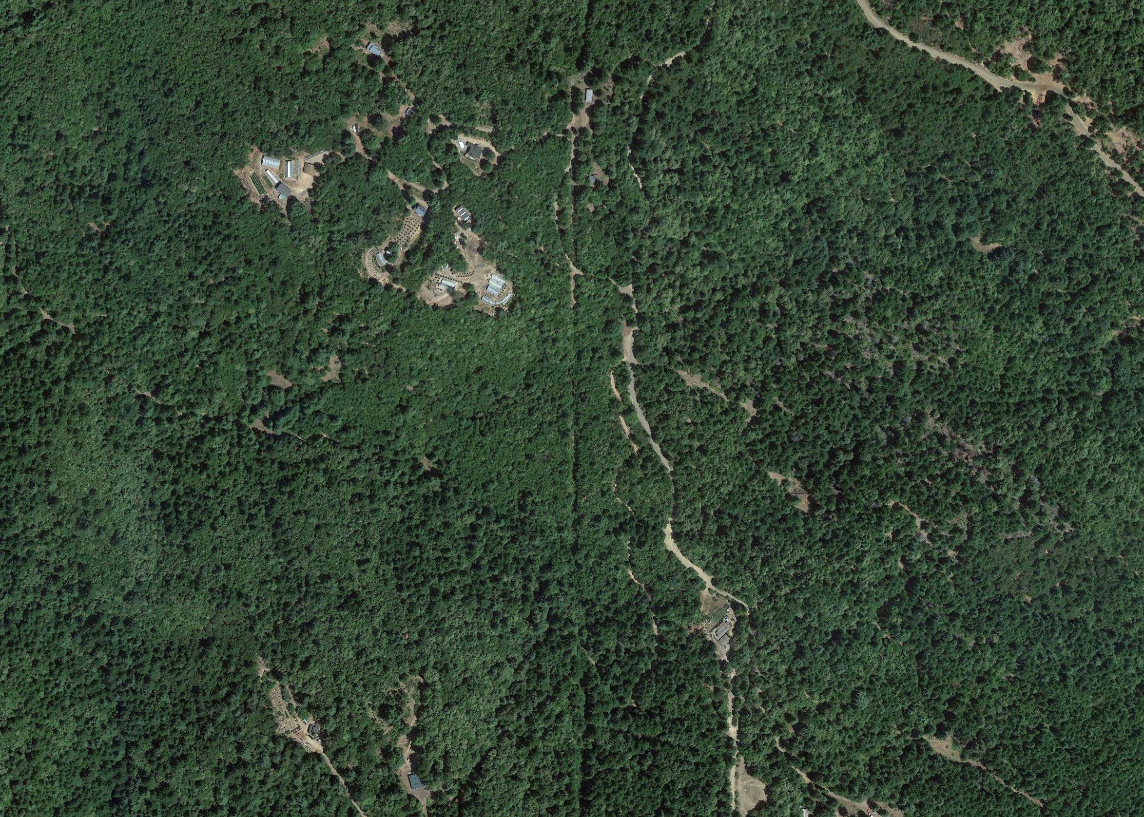
In the United States, cannabis agriculture is a multi-billion dollar industry. With policy liberation, the industry’s agricultural practices and land use patterns are changing rapidly. Anecdotes and speculation about associated environmental impacts fuel an urgent need for systematic empirical research. Our study from Humboldt County California, a principal cannabis-producing region, mapped and analyzed 4,428 grow sites in 60 watersheds using Google Earth imagery. We found clustered patterns of grow sites, suggesting disproportionate impacts in ecologically important locales. Sixty-eight percent of grow sites were located more than 500 m (0.31 mi) from developed roads, suggesting risk of landscape fragmentation. Twenty-two percent of sites were planted on steep slopes, suggesting risk of erosion, sedimentation, and landslides. Five percent encroached on creeks where sites were less than 100 m from threatened fish habitat. An estimated 297,954 plants would consume an estimated 700,000 cubic meters of water, suggesting risk of stream impacts. The extent and magnitude of cannabis agriculture documented in our study demands regulation and research on par with conventional agriculture.
