Publication

Summary
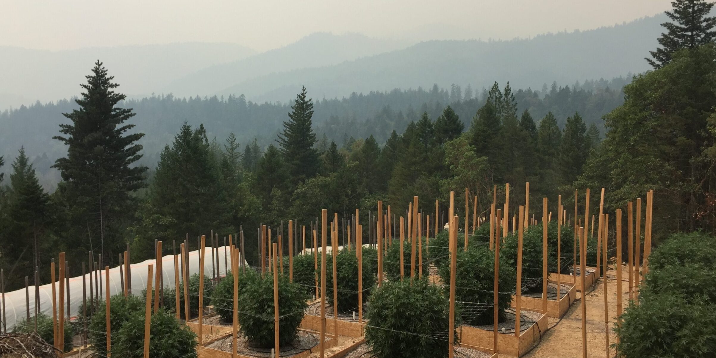
Using permit data from the first two years of California’s statewide cannabis regulatory program, we documented geographic variation in cannabis production and farm characteristics. Using multilevel regression models, we found that a small number of large farms represented the majority of the permitted cultivation area. The top 10% of largest farms comprised 60% of total cultivated area statewide. The counties with the most growth in permitted cannabis cultivation area also had the highest rates of tenant (non-landowner) farming and lowest proportions of farms with permanent onsite residency. Larger parcels and cultivation area were positively related to regulatory enrollment but negatively related to slope and stream network density. Our results suggest that California’s newly formalized cannabis industry is responding to environmental regulation on two divergent paths. Smaller farms, which often pre-date legalization, navigate regulations in more remote and rugged regions. Larger farms, on the other hand, are often newer. They tend to operate in areas more favorable to meeting environmental requirements of state and county policies.
